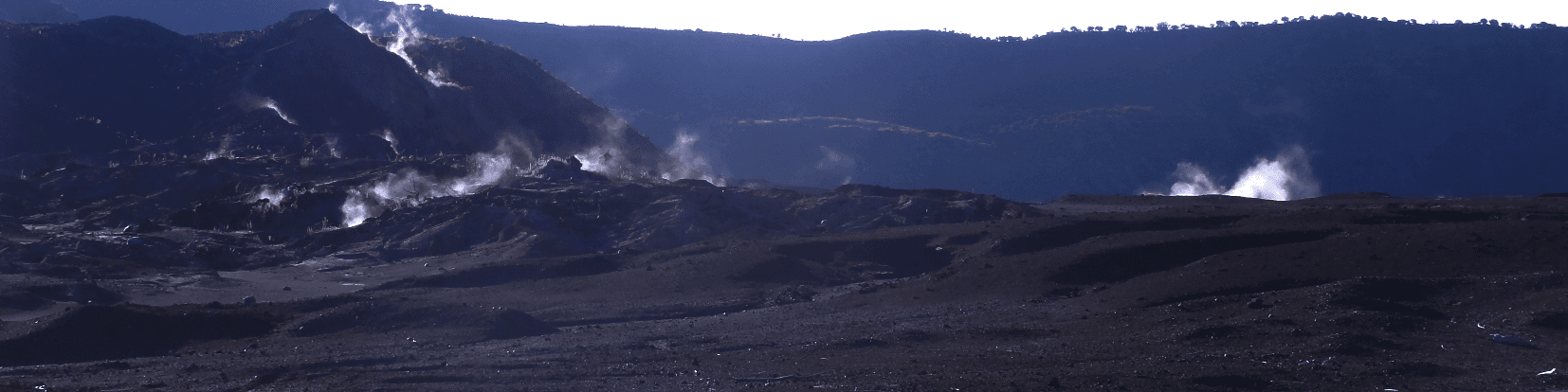


Geohazard
The Comoros Islands are exposed to various natural hazards that subsequently generate geological hazards such as flooding and erosion, landslides and collapses, volcanic hazards and shoreline degradation.
The GBC, in collaboration with other national institutions, develops and conducts strategies for the prevention, management, and monitoring of any geological hazards by applying geophysical, geological, remote sensing, as well as geographic information systems methods.