The Comoros are volcanic islands located north of the Mozambique Channel, between Madagascar and the East African coast. Its volcanism is of Hawaiian type with a differentiated evolution according to the age of the islands.
The geological origin of this archipelago begins with the Karoo rifting following the dislocation of Gondwana in the Lower Jurassic. This oceanic expansion would have created the Comoros basin which is in reality an expansion of the Somali basin and the Mozambique basin.
About BGC
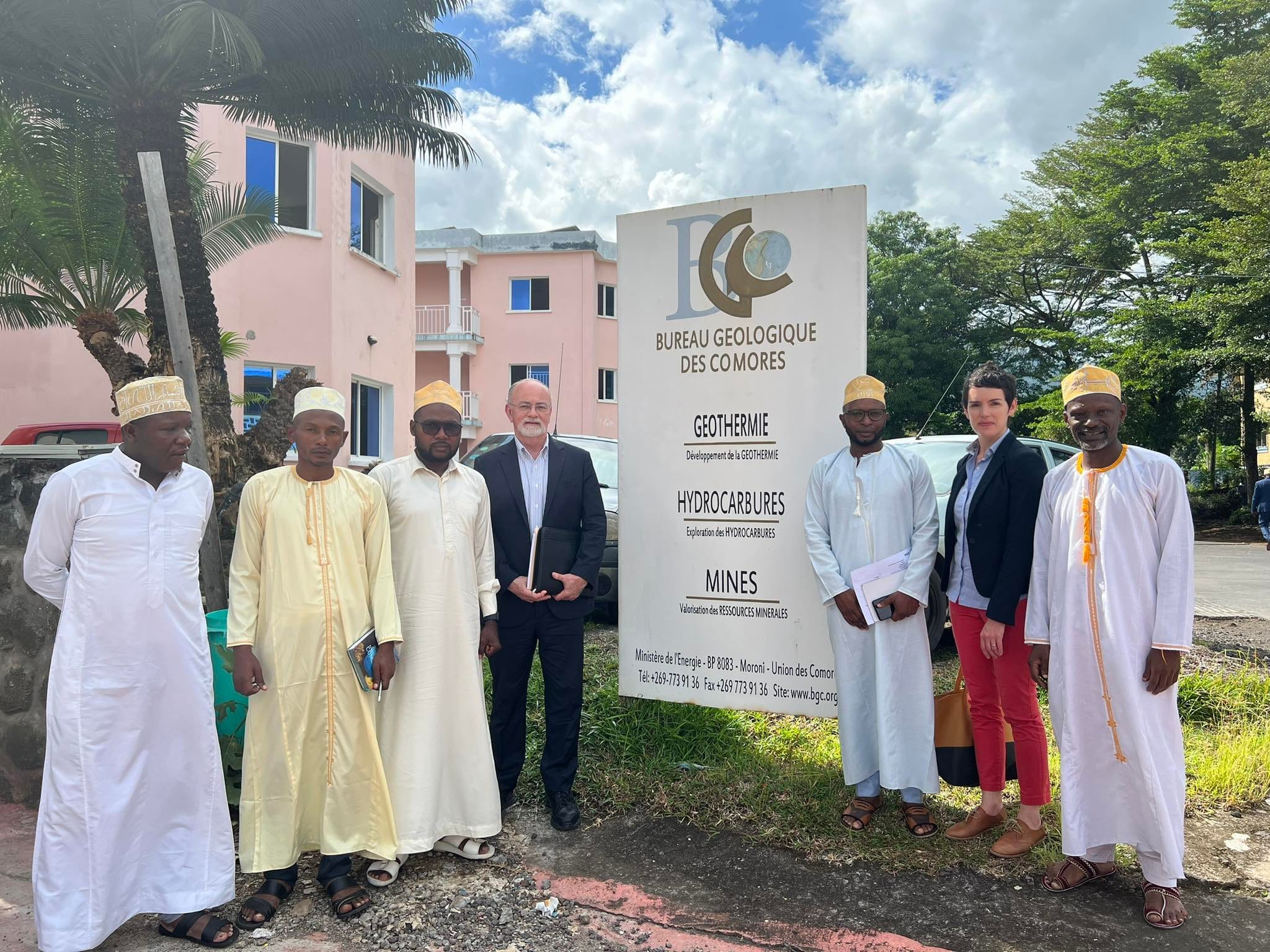
The Comoros Geological Survey (BGC) was created in 2010 by Decree N°10-030 /PR. It is placed under the supervision of the Ministry of Energy. It is responsible for research and exploitation of geological resources.
The objective of the Comoros Geological Survey is to be the locomotive of the country's emergence by 2030.
The head of the office ...
Mission

Vision

Team

Laboratories
Labos
Created in 2010 by Decree No.10-030 /PR, the Comoros Geological Bureau (CGB) is the national institution in charge of research and exploitation of geological resources. It is under the supervision of the Ministry of Energy. The main objective of the GBC is to promote the geological resources of Comoros, with a view to sustainability, and to develop and implement geoscientific infrastructure programs, particularly in the areas of
- Exploration and exploitation of petroleum resources;
- Research and promotion of geological, hydrogeological and mining resources;
- The development of energy resources through the program of geothermal and biogas development.
Thus, the CGB is in charge of Geological, Geophysical and Geochemical prospecting
The vision of the GBC is to be the Pillar of the economic and social development of Comoros.
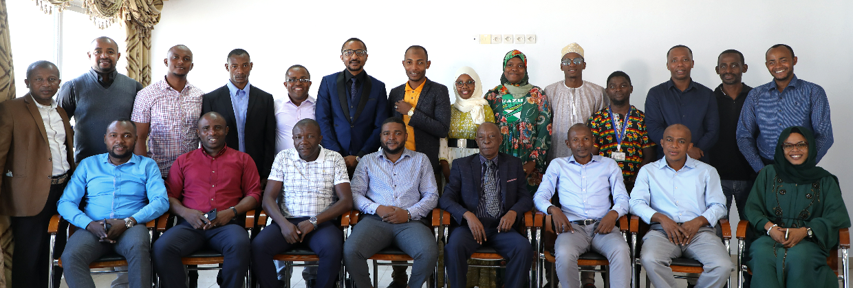
The GBC is composed of a Chief of Bureau, a Secretary General, a Technical Team and an Administrative and Financial Department.
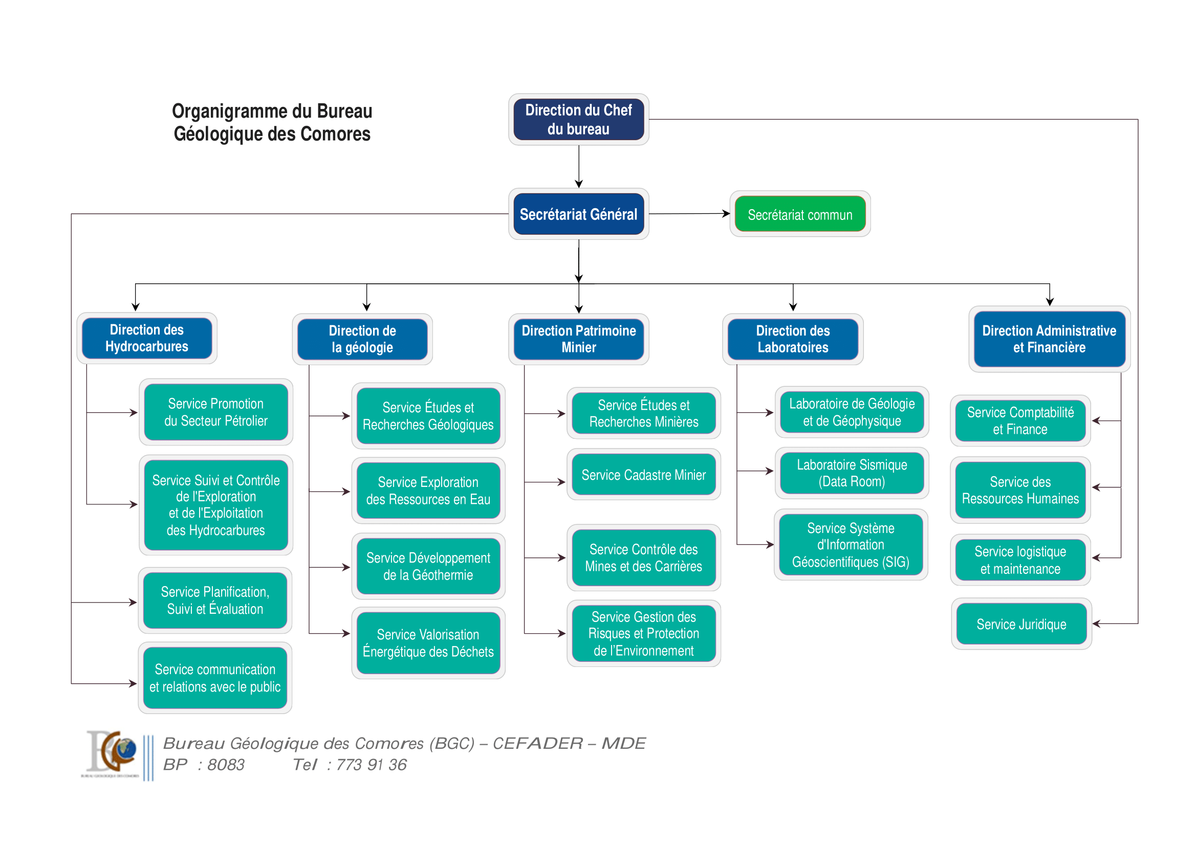
Organizational chart of BGC
Geology and Geophysics Laboratory:
This laboratory is furnished with equipments and tools for geoscientific studies and analysis. It carries out the study of earth sciences such as terrestrial dynamics, petrography, petrology as well as the research of subterranean waters. It also carries out Environmental Impact Studies (air and noise quality, soil and water pollution).
Seismic laboratory:
This laboratory constitutes the Data Center of the GBC and has as objective the processing, analysis, interpretation and management of seismic, seismological and other data.
Activity
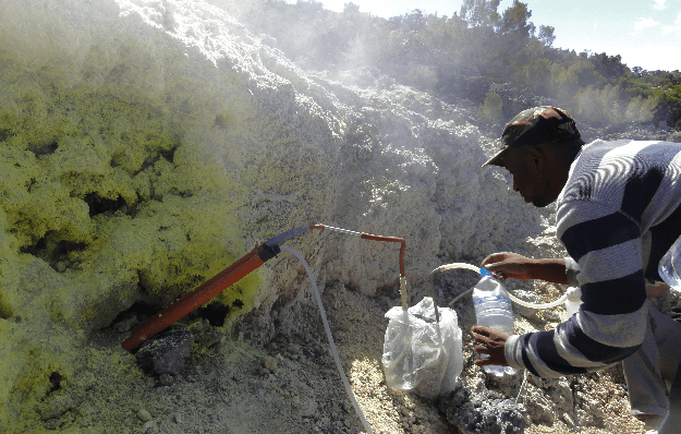

Geothermal sector
The GBC is the administrative and technical authority of the State, in charge of coordinating and promoting all activities in the country related to the exploration, exploitation and valorization of geothermal resources. Geoscientific studies conducted in 2008 by experts from the Kenyan Electricity Company (KenGen) in the north of Karthala (Grande Comore) revealed the existence of geothermal potential from the Karthala area to La Grille hill. Between 2014 and 2015, extensive geological, geoche Lire plus
Hydrocarbons
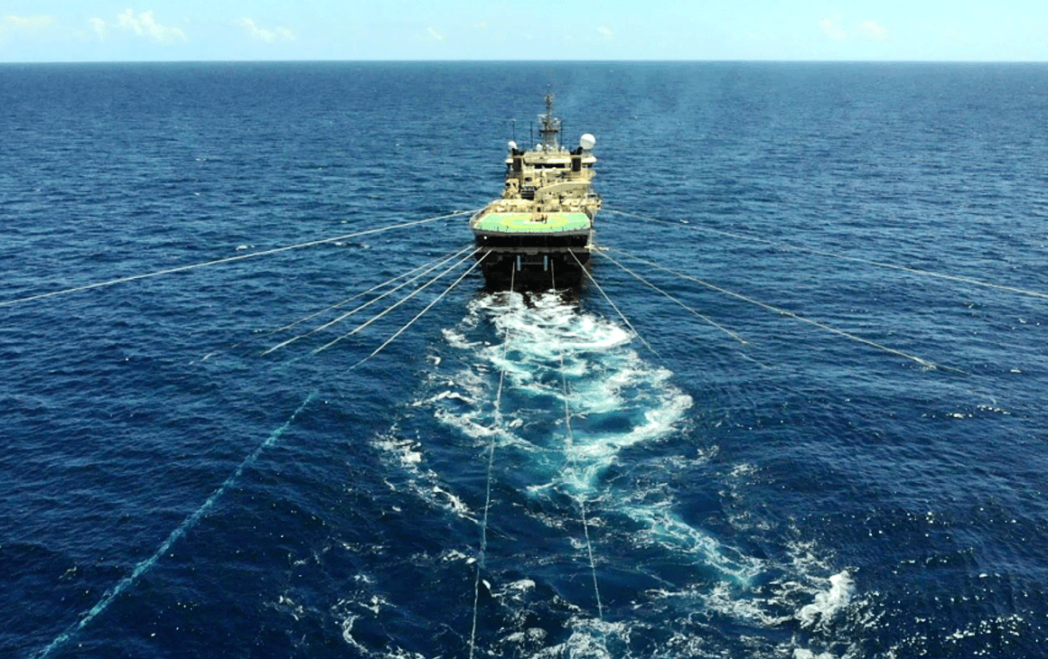
History of the Comorian petroleum sector The geological history of the Comoros archipelago begins with the Karoo rifting which is the origin of the dislocation of Gondwana in the Lower Jurassic. This oceanic expansion would have created the Comoros Basin, which is in reality an expansion of the Somali and Mozambique Basins. Studies conducted in the region show that the Comoros Basin has the same system of sedimentary deposits with the Rovuma Basin offshore of Mozambique where important gas dep Lire plus
Secteur Minier
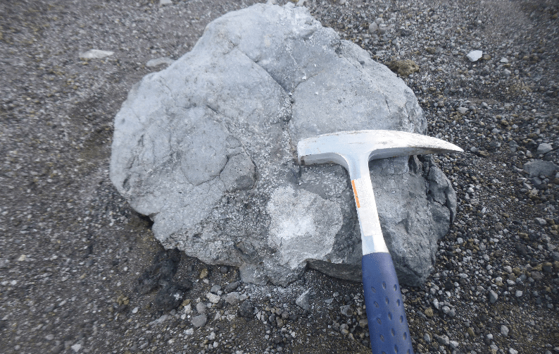
The Comoros archipelago is characterized by a very diverse geological environment from one island to another with a dominance of basaltic volcanic rocks. The soil and sub-surface resources are not well studied. However, the basic geological studies conducted by Pars Kani Co. in 2009 showed a mining potential in the whole national territory (click here). This potentiality was highlighted following the identification and characterization of some useful mineral substances such as: The sand oliv Lire plus
News
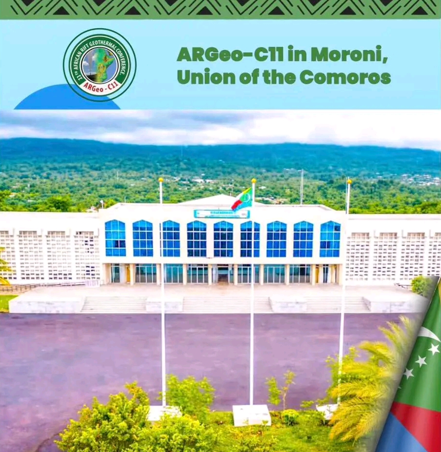
L’ARGEO-C11 à Moroni du 19 au 24 Octobre 2026
POURQUOI PARTICIPER À L’ARGEO-C11 ? L’accent croi